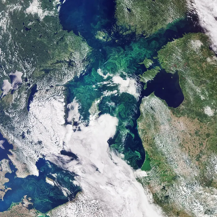
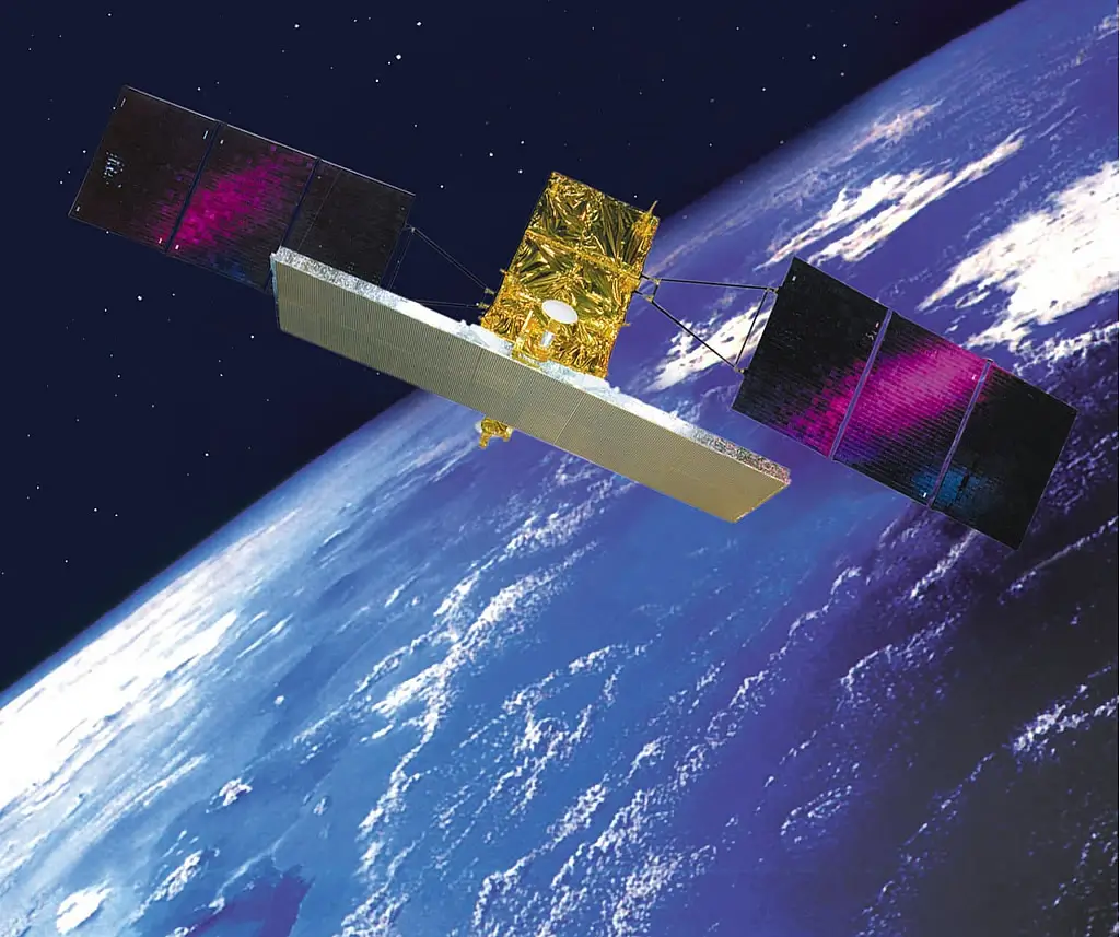
As international communities become more environmentally conscious, business sustainability becomes a top priority, especially in such areas as mining, commercial agriculture, and other industries that require constant environmental monitoring and assessment impact. Historically, assessing the impact of industrial activity would require a lot of human personnel, as well as hours of literal fieldwork, but today’s space platforms for environmental monitoring and assessment can accomplish this task quicker and more effectively.
Besides, wireless environmental monitoring data helps scientists keep track of many processes back on Earth — from assessment of changing forest covers and sea levels to analyzing how entire ecosystems are affected by climate change or industrial human activities. All of this has been made possible by advances in space platform technology that make satellites more accessible to organizations without enormous budgets. Below, we will discuss how it all works, listing a few types of an environmental monitoring system, and explaining — how do satellites help the environment?
What is environmental monitoring and assessment?
Environmental monitoring and assessment is a vast concept that includes collecting different environmental data to analyze how given processes change over time. Some examples of environmental monitoring and assessment include keeping track of changing ocean levels (for example, as a result of glacier melting), changes in vegetation covers, forest covers, wildlife movement, etc.
Whatever processes are being monitored, environmental monitoring and assessment includes several stages:
- Systematic collection of specific data;
- Data analysis aimed at identifying patterns or anomalies;
- Data assessment and further interpretation when necessary (for example, the impact of temperature fluctuations on vegetation covers in a given area);
- Compiling data into comprehensive reports for government agencies, private stakeholders, or other decision-making parties who need this data to make further assessments.
The last stage in environmental monitoring and assessment is taking any action based on reports. Here, a lot will depend on the actual type of monitoring, i.e., if the decision-making party needs information about air quality, pollution levels, or yield forecasts.
How do satellites help monitor environmental concerns and issues?
Satellites are monitoring designed areas over extended periods of time, which means they can provide the most detailed information about environmental changes. Here, one should keep in mind that environmental monitoring is a very broad concept. So, space platforms for environmental monitoring and assessment cannot cover the full scope of monitoring the environment. That is why most satellite missions cover more narrow, specific tasks for further assessment, such as:
- Weather forecasting and climate assessment;
- Styling atmospheric composition, pollution levels, etc.
- Ocean monitoring of sea levels, marine ecosystems, water currents, etc.
Together, these space platform missions fall under the Earth Observation Satellites (EOS) definition. However, the details differ greatly — even within each sub-type of monitoring and assessment described above.

What satellites are used for environmental monitoring?
Depending on specific purpose, different satellites can be used for environmental monitoring and assessment. Most of them, however, are satellites equipped with cameras capturing images in different light spectrums and resolutions. High-resolution imagers, for example, can detect minute details on the surface and are used for very specific assessments in precision farming or monitoring small areas of land (because, normally, they cannot ensure wide area coverage).
Light spectrum is another important criterion used in environmental monitoring and assessment. Some cameras, for example, can only capture images in the visible light spectrum — just like ordinary cameras we use on Earth. Others can ‘shoot’ in infrared and spectrums not visible to the human eye. Besides, more advanced satellites can be equipped with additional sensors that study chemical compositions, radiation levels, etc.
Here are some of the best space platforms for environmental monitoring that have already made a great contribution to science and our ecological assessment — chances are, you’ve heard of them before:
- Landsat series that captures high-quality multispectral images, ensuring truly global environmental coverage;
- Copernicus Sentinel, an ESA initiative that uses high-res optical imagery, providing the most accurate weather data;
- MODIS, one of the best NASA initiatives for assessing global vegetation, land surface temperatures, the Earth’s energy resources, etc.;
- ICESat, used to monitor changes in ice sheets, glacier melting, as well changes in land topography, is now one of the top platforms providing intonation on climate change.
Future potential of environmental monitoring and assessment
Even though the possibilities of environmental assessment are already impressive, the potential is greater still. Space tech miniaturization, especially those of CubeSats, plays a major part in this. As satellites become smaller and more affordable, organizations without massive budgets can afford to launch their own spacecraft for further environmental assessment. EOS CubeSats are already deployed in constellations, which ensures vaster area coverage while retaining affordable costs.
Besides, the spread of artificial intelligence greatly alleviates data analysis — the environmental assessment stage that caused the greatest challenges until recently. Finally, space tech collaboration between private and public sectors has been steadily growing, which has already resulted in multiple initiatives aimed at making space tech ever more accessible. And we’re certain to see more innovative EOS missions before this decade is over.


